Geolocate

Pralungo topographic map

Click on the map to display elevation.

About this map
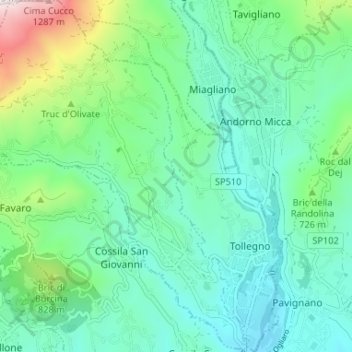
Name: Pralungo topographic map, elevation, terrain.

Location: Pralungo, Biella, Piedmont, 13899, Italy (45.57924 7.99808 45.62508 8.05068)

Average elevation: 633 m

Minimum elevation: 417 m

Maximum elevation: 1,360 m

Other topographic maps

Click on a map to view its topography, its elevation and its terrain.

Ravizza

Italy > Piedmont > Biella > Andorno Micca

Average elevation: 683 m

Gear up for your next adventure:

🦯Walking Poles - Supportive poles for long-distance walking
🥾Hiking Boots - Waterproof and durable boots for long-distance hiking in the UK
🎒Hiking Daypacks - Compact backpacks ideal for short hikes and excursions
🧷Tenacious Repair Tape - Instant fix for torn tents, jackets, or dry bags
🛰️Satellite Messengers - Emergency communication devices for areas without mobile signal

As an Amazon Associate, this site earns from qualifying purchases at no extra cost to you.