
Beawoma Vilage topographic map
Interactive map
Click on the map to display elevation.
About this map
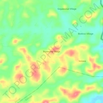
Name: Beawoma Vilage topographic map, elevation, terrain.
Location: Beawoma Vilage, Zorzor, Lofa County, Liberia (7.75331 -9.40776 7.79331 -9.36776)
Average elevation: 454 m
Minimum elevation: 414 m
Maximum elevation: 509 m