
Teardrop Park topographic map
Interactive map
Click on the map to display elevation.
About this map
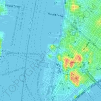
Name: Teardrop Park topographic map, elevation, terrain.
Average elevation: 6 m
Minimum elevation: -7 m
Maximum elevation: 47 m
Other topographic maps
Click on a map to view its topography, its elevation and its terrain.
WCBS-AM (New York)
États-Unis > New York > New York
WCBS-AM (New York), Terrace Street, City Island, New York, The Bronx, Bronx County, New York, 10464, États-Unis
Average elevation: 1 m
Manhattan
États-Unis > New York > New York
Yorkville, Manhattan Community Board 8, Manhattan, New York County, New York, États-Unis
Average elevation: 19 m
Staten Island
États-Unis > New York > New York
Staten Island, Richmond County, New York, États-Unis
Average elevation: 11 m
Todt Hill
États-Unis > New York > New York
Todt Hill, Staten Island, Richmond County, New York, 10304, États-Unis
Average elevation: 75 m