
Gumhöjden topographic map
Interactive map
Click on the map to display elevation.
About this map
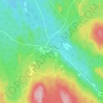
Name: Gumhöjden topographic map, elevation, terrain.
Location: Gumhöjden, Hagfors kommun, Värmlands län, Svealand, Zweden (60.00079 13.88751 60.04079 13.92751)
Average elevation: 265 m
Minimum elevation: 197 m
Maximum elevation: 403 m