
阿城区 topographic map
Interactive map
Click on the map to display elevation.
About this map
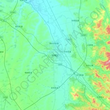
Name: 阿城区 topographic map, elevation, terrain.
Location: 阿城区, 哈尔滨市, 黑龙江省, 中国 (45.37625 126.80944 45.69625 127.12944)
Average elevation: 188 m
Minimum elevation: 125 m
Maximum elevation: 510 m
Other topographic maps
Click on a map to view its topography, its elevation and its terrain.