
Ortigas topographic map
Interactive map
Click on the map to display elevation.
About this map
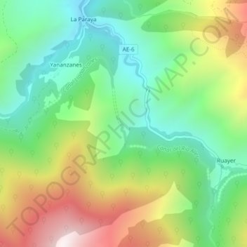
Name: Ortigas topographic map, elevation, terrain.
Location: Ortigas, Aller, Asturias, Spain (43.04881 -5.57609 43.06881 -5.55609)
Average elevation: 1,014 m
Minimum elevation: 647 m
Maximum elevation: 1,613 m