
Annen topographic map
Interactive map
Click on the map to display elevation.
About this map
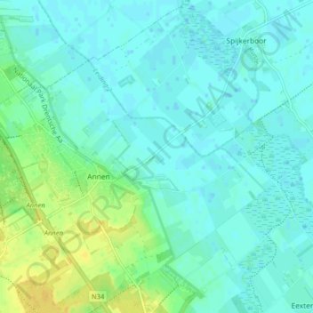
Name: Annen topographic map, elevation, terrain.
Location: Annen, Aa en Hunze, Drente, Niederlande (53.03547 6.69885 53.08123 6.77859)
Average elevation: 6 m
Minimum elevation: -1 m
Maximum elevation: 20 m