
Abéché topographic map
Interactive map
Click on the map to display elevation.
About this map
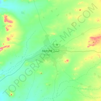
Name: Abéché topographic map, elevation, terrain.
Location: Abéché, Ouaddaï, Chad (13.66803 20.66837 13.98803 20.98837)
Average elevation: 554 m
Minimum elevation: 482 m
Maximum elevation: 793 m