
Chenal de Mérignac topographic map
Interactive map
Click on the map to display elevation.
About this map
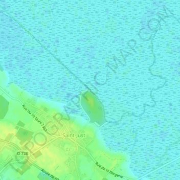
Name: Chenal de Mérignac topographic map, elevation, terrain.
Average elevation: 4 m
Minimum elevation: 0 m
Maximum elevation: 16 m
Other topographic maps
Click on a map to view its topography, its elevation and its terrain.
Saint-Just
France > Nouvelle-Aquitaine > Charente-Maritime > Saint-Just-Luzac > Saint-Just
Saint-Just, Saint-Just-Luzac, Rochefort, Charente-Maritime, Nouvelle-Aquitaine, France métropolitaine, 17320, France
Average elevation: 5 m