
Sehlabathebe National Park topographic map
Interactive map
Click on the map to display elevation.
About this map
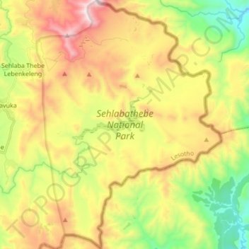
Name: Sehlabathebe National Park topographic map, elevation, terrain.
Location: Sehlabathebe National Park, Qacha's Nek District, Lesotho (-29.96698 29.06833 -29.84900 29.16966)
Average elevation: 2,331 m
Minimum elevation: 1,815 m
Maximum elevation: 2,965 m