
Koło topographic map
Interactive map
Click on the map to display elevation.
About this map
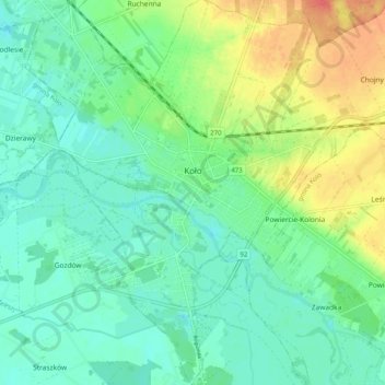
Name: Koło topographic map, elevation, terrain.
Location: Koło, Koło County, Greater Poland Voivodeship, Poland (52.16735 18.59196 52.22942 18.67953)
Average elevation: 100 m
Minimum elevation: 84 m
Maximum elevation: 133 m
Other topographic maps
Click on a map to view its topography, its elevation and its terrain.