
High Dale Park topographic map
Interactive map
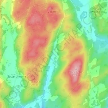
Click on the map to display elevation.
About this map
Name: High Dale Park topographic map, elevation, terrain.
Average elevation: 140 m
Minimum elevation: 51 m
Maximum elevation: 259 m
Routes: Westmorland and Furness GPS tracks, routes, trails, hikes
Other topographic maps
Click on a map to view its topography, its elevation and its terrain.