
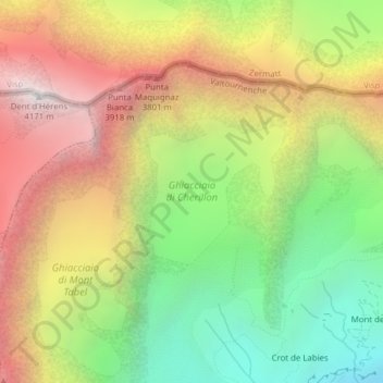
Ghiacciaio di Cherillon topographic map
Interactive map
Click on the map to display elevation.
About this map
Name: Ghiacciaio di Cherillon topographic map, elevation, terrain.
Location: Ghiacciaio di Cherillon, Valtournenche, Aosta Valley, Italy (45.95813 7.61593 45.96847 7.63003)
Average elevation: 3,155 m
Minimum elevation: 2,235 m
Maximum elevation: 4,158 m