
清水区 topographic map
Interactive map
Click on the map to display elevation.
About this map
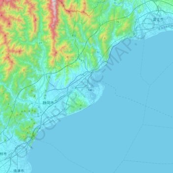
Name: 清水区 topographic map, elevation, terrain.
Location: 清水区, 靜岡市, 静冈县/靜岡縣, 中部地方, 424-8701, 日本 (34.82475 138.39538 35.20293 138.65395)
Average elevation: 152 m
Minimum elevation: -1 m
Maximum elevation: 1,531 m