Geolocate

Argonda topographic map

Click on the map to display elevation.

About this map

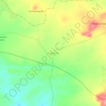
Name: Argonda topographic map, elevation, terrain.

Location: Argonda, Rajampet mandal, Kamareddy District, Telangana, India (18.20960 78.26092 18.24960 78.30092)

Average elevation: 568 m

Minimum elevation: 516 m

Maximum elevation: 631 m

Gear up for your next adventure:

🗺️Topographic Maps - Detailed maps showing elevation and terrain features
👟Men's Trail Running Shoes - Lightweight grip for fast movement over topographic contours
🔋Solar Power Banks - Keep your GPS and phone charged during multi-day expeditions
🛰️Outdoor GPS Navigation - Navigation devices for remote and off-grid areas
🕶️Polarized Sunglasses - Reduces glare from snow and water when reading terrain

As an Amazon Associate, this site earns from qualifying purchases at no extra cost to you.