
Khudian Khas topographic map
Interactive map
Click on the map to display elevation.
About this map
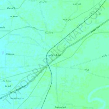
Name: Khudian Khas topographic map, elevation, terrain.
Average elevation: 192 m
Minimum elevation: 189 m
Maximum elevation: 195 m
Other topographic maps
Click on a map to view its topography, its elevation and its terrain.
Kasur
Pakistan > Punjab > Kasur District
Kasur, Kasur Tehsil, Kasur District, Lahore Division, Punjab, 55050, Pakistan
Average elevation: 203 m