
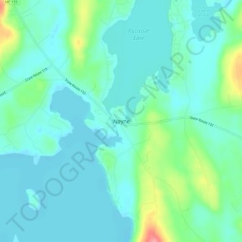
Wayne topographic map
Interactive map
Click on the map to display elevation.
About this map
Name: Wayne topographic map, elevation, terrain.
Location: Wayne, Kennebec County, Maine, 04284, États-Unis d'Amérique (44.32868 -70.08616 44.36868 -70.04616)
Average elevation: 97 m
Minimum elevation: 77 m
Maximum elevation: 171 m