
Gränna topographic map
Interactive map
Click on the map to display elevation.
About this map
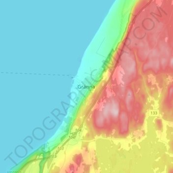
Name: Gränna topographic map, elevation, terrain.
Location: Gränna, Jönköpings kommun, Jönköping County, 563 31, Sweden (57.98506 14.42731 58.06506 14.50731)
Average elevation: 164 m
Minimum elevation: 86 m
Maximum elevation: 324 m
Other topographic maps
Click on a map to view its topography, its elevation and its terrain.