Château d'Aon topographic map
Interactive map
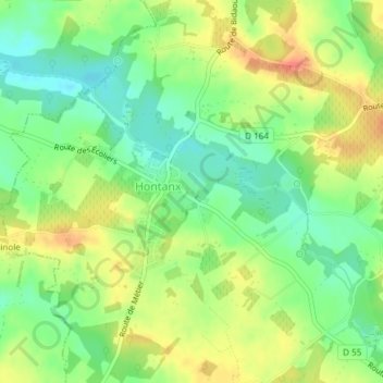
Click on the map to display elevation.
About this map
Name: Château d'Aon topographic map, elevation, terrain.
Average elevation: 100 m
Minimum elevation: 76 m
Maximum elevation: 126 m

Click on the map to display elevation.
Name: Château d'Aon topographic map, elevation, terrain.
Average elevation: 100 m
Minimum elevation: 76 m
Maximum elevation: 126 m