
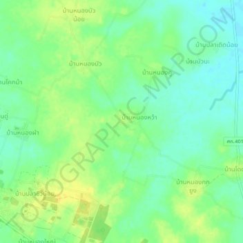
Ban Chomphu Thong topographic map
Interactive map
Click on the map to display elevation.
About this map
Name: Ban Chomphu Thong topographic map, elevation, terrain.
Location: Ban Chomphu Thong, Si Sa Ket Province, Thailand (15.18653 104.03832 15.22653 104.07832)
Average elevation: 141 m
Minimum elevation: 130 m
Maximum elevation: 151 m