Geolocate

Stone topographic map

Interactive map

Click on the map to display elevation.

About this map

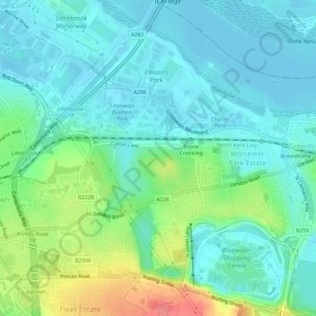
Name: Stone topographic map, elevation, terrain.

Location: Stone, Dartford, Kent, South East, England, United Kingdom (51.43412 0.23677 51.46499 0.28295)

Average elevation: 20 m

Minimum elevation: -3 m

Maximum elevation: 78 m

Other topographic maps

Click on a map to view its topography, its elevation and its terrain.

Swanscombe and Greenhithe

United Kingdom > England > Dartford

Swanscombe and Greenhithe, Dartford, Kent, South East, England, United Kingdom

Average elevation: 15 m

Southfleet

United Kingdom > England > Dartford > Southfleet

Southfleet, Station Road, Southfleet, Dartford, Kent, South East England, England, DA13 9LH, United Kingdom

Average elevation: 31 m

Maypole

United Kingdom > England > Dartford > Maypole

Maypole, Dartford, Kent, South East England, England, DA2 7WA, United Kingdom

Average elevation: 39 m

Darenth

United Kingdom > England > Dartford

Darenth, Dartford, Kent, South East, England, United Kingdom

Average elevation: 40 m

Longfield and New Barn

United Kingdom > England > Dartford

Longfield and New Barn, Dartford, Kent, South East, England, United Kingdom

Average elevation: 73 m

Joydens Wood

United Kingdom > England > Dartford

Joydens Wood, Woodland Way, Stonehill Woods Park, Joydens Wood, Dartford, Kent, South East, England, DA14 5AS, United Kingdom

Average elevation: 50 m

Sutton-at-Hone and Hawley

United Kingdom > England > Dartford

Sutton-at-Hone and Hawley, Dartford, Kent, South East, England, United Kingdom

Average elevation: 39 m