
Bokito topographic map
Interactive map
Click on the map to display elevation.
About this map
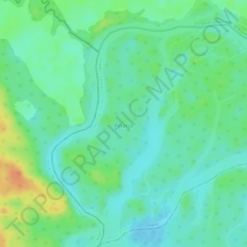
Name: Bokito topographic map, elevation, terrain.
Location: Bokito, Mbam-et-Inoubou, CE, Camerún (4.21546 11.07230 4.23558 11.08419)
Average elevation: 344 m
Minimum elevation: 329 m
Maximum elevation: 372 m