Geolocate

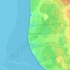
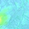
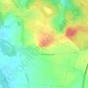
Mametz topographic map

Click on the map to display elevation.

About this map

Name: Mametz topographic map, elevation, terrain.

Location: Mametz, Saint-Omer, Pas-de-Calais, Hauts-de-France, Metropolitan France, 62120, France (50.60956 2.27429 50.64474 2.34014)

Average elevation: 41 m

Minimum elevation: 18 m

Maximum elevation: 106 m

Other topographic maps

Click on a map to view its topography, its elevation and its terrain.

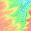
Panehem

France > Hauts-de-France > Pas-de-Calais > Samer

Average elevation: 70 m

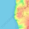
Le Petit Vimy

France > Hauts-de-France > Pas-de-Calais > Vimy

Average elevation: 93 m

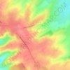
Noyelles

France > Hauts-de-France > Pas-de-Calais > Bours

Average elevation: 125 m

Gear up for your next adventure:

🧼Camping Hygiene Kits - Compact hygiene essentials for outdoor stays
🧺Ultralight Dry Bags - Organize and waterproof your gear inside your rucksack
🔦Waterproof LED Headlamps - Hands-free lighting for evening treks and emergency navigation
💧Hydration Reservoirs - Convenient water bladders for hands-free drinking on the move
⌚Altimeter Watches - Watches measuring altitude for mountain activities

As an Amazon Associate, this site earns from qualifying purchases at no extra cost to you.