
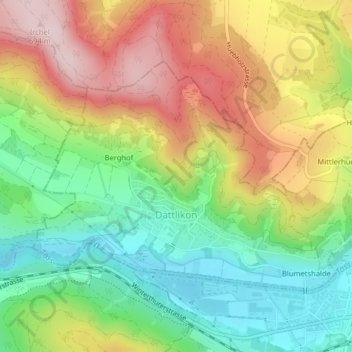
Dättlikon topographic map
Interactive map
Click on the map to display elevation.
About this map
Name: Dättlikon topographic map, elevation, terrain.
Location: Dättlikon, Bezirk Winterthur, Zürich, 8421, Schweiz (47.51980 8.60614 47.53736 8.64059)
Average elevation: 518 m
Minimum elevation: 372 m
Maximum elevation: 701 m