
Lac d'Ours topographic map
Interactive map
Click on the map to display elevation.
About this map
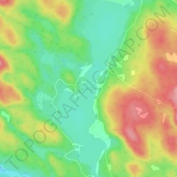
Name: Lac d'Ours topographic map, elevation, terrain.
Location: Lac d'Ours, Litchfield, Pontiac, Outaouais, Québec, Canada (45.82600 -76.54470 45.86321 -76.52250)
Average elevation: 239 m
Minimum elevation: 179 m
Maximum elevation: 316 m