
Donaustadt topographic map
Interactive map
Click on the map to display elevation.
About this map
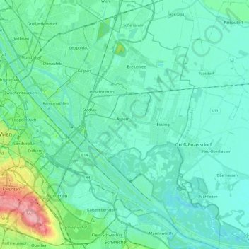
Name: Donaustadt topographic map, elevation, terrain.
Location: Donaustadt, Viena, 1220, Austria (48.13522 16.39813 48.29353 16.57751)
Average elevation: 163 m
Minimum elevation: 145 m
Maximum elevation: 253 m