
Calheta de São Miguel topographic map
Interactive map
Click on the map to display elevation.
About this map
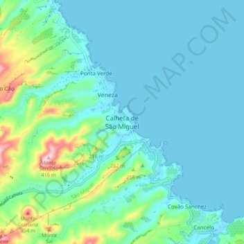
Name: Calheta de São Miguel topographic map, elevation, terrain.
Location: Calheta de São Miguel, São Miguel, 7215, Cape Verde (15.14420 -23.63150 15.22420 -23.55150)
Average elevation: 69 m
Minimum elevation: 0 m
Maximum elevation: 403 m