
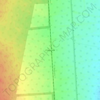
Chaguaral topographic map
Interactive map
Click on the map to display elevation.
About this map
Name: Chaguaral topographic map, elevation, terrain.
Location: Chaguaral, Municipio de Pichanal, Orán, Salta, Argentina (-24.07916 -64.02452 -24.03916 -63.98452)
Average elevation: 391 m
Minimum elevation: 371 m
Maximum elevation: 414 m