
Montalbán topographic map
Interactive map
Click on the map to display elevation.
About this map
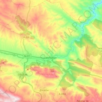
Name: Montalbán topographic map, elevation, terrain.
Location: Montalbán, Teruel, Aragón, 44700, España (40.78022 -0.87104 40.90051 -0.73380)
Average elevation: 1,026 m
Minimum elevation: 669 m
Maximum elevation: 1,432 m