
Highland Township topographic map
Interactive map
Click on the map to display elevation.
About this map
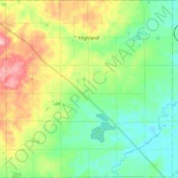
Name: Highland Township topographic map, elevation, terrain.
Location: Highland Township, Osceola County, Michigan, United States (44.07337 -85.32595 44.16485 -85.20638)
Average elevation: 398 m
Minimum elevation: 346 m
Maximum elevation: 499 m