Geolocate

Kosli topographic map

Click on the map to display elevation.

About this map

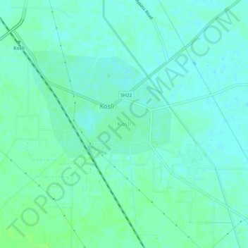
Name: Kosli topographic map, elevation, terrain.

Location: Kosli, Rewari District, Haryana, India (28.37827 76.46476 28.41827 76.50476)

Average elevation: 231 m

Minimum elevation: 227 m

Maximum elevation: 235 m

Gear up for your next adventure:

🦶Anti-Blister Balms - Protect your feet before long topographic expeditions
🍱Food Containers - Reusable containers for outdoor meals
🧭GPS Trackers - Tracking devices for safety and navigation
🔦Head Torches - Hands-free lighting for hiking and camping
🎒Hiking Daypacks (20L) - Compact backpacks for day trips and technical mountain ascents

As an Amazon Associate, this site earns from qualifying purchases at no extra cost to you.