Geolocate

Taman Rekreasi Bukit Ria topographic map

Click on the map to display elevation.

About this map

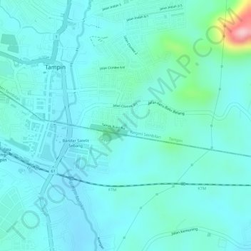
Name: Taman Rekreasi Bukit Ria topographic map, elevation, terrain.

Location: Taman Rekreasi Bukit Ria, Tampin, Negeri Sembilan, Malaysia (2.46548 102.23960 2.46622 102.24024)

Average elevation: 60 m

Minimum elevation: 29 m

Maximum elevation: 217 m

Gear up for your next adventure:

🧥Breathable Waterproof Jackets - Essential rain protection for the unpredictable British climate
🧤Thermal Touchscreen Gloves - Stay warm while operating your GPS or smartphone camera
🍲Portable Camping Stoves - Fast-boiling stoves for hot meals on remote topographic survey trips
🦯Walking Poles - Supportive poles for long-distance walking
🗺️Ordnance Survey Maps - Essential paper maps for hiking across the UK national parks

As an Amazon Associate, this site earns from qualifying purchases at no extra cost to you.