
Yeşilyurt topographic map
Interactive map
Click on the map to display elevation.
About this map
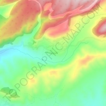
Name: Yeşilyurt topographic map, elevation, terrain.
Location: Yeşilyurt, Alucra, Giresun, Black Sea Region, Turkey (40.30131 38.89689 40.34131 38.93689)
Average elevation: 1,918 m
Minimum elevation: 1,760 m
Maximum elevation: 2,111 m