
Meeth topographic map
Click on the map to display elevation.
About this map
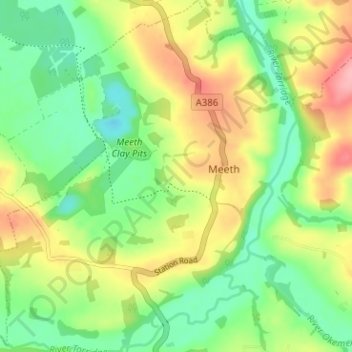
Name: Meeth topographic map, elevation, terrain.
Location: Meeth, West Devon, Devon, England, United Kingdom (50.83464 -4.10481 50.87462 -4.05103)
Average elevation: 81 m
Minimum elevation: 35 m
Maximum elevation: 147 m
Devon trails, hiking, mountain biking, running and outdoor activities