
Vedrin topographic map
Interactive map
Click on the map to display elevation.
About this map
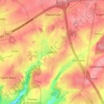
Name: Vedrin topographic map, elevation, terrain.
Location: Vedrin, Namur, Wallonie, 5020, Belgique (50.48196 4.85424 50.52196 4.89424)
Average elevation: 176 m
Minimum elevation: 112 m
Maximum elevation: 203 m