
Kirehe topographic map
Interactive map
Click on the map to display elevation.
About this map
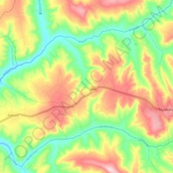
Name: Kirehe topographic map, elevation, terrain.
Location: Kirehe, Kirehe District, East Province, Rwanda (-2.29557 30.57922 -2.22671 30.67720)
Average elevation: 1,491 m
Minimum elevation: 1,339 m
Maximum elevation: 1,677 m