Geolocate

Been topographic map

Click on the map to display elevation.

About this map

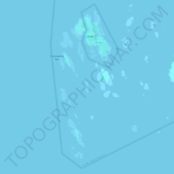
Name: Been topographic map, elevation, terrain.

Location: Been, Utvær, Solund, Vestland, Norway (61.02873 4.50885 61.03068 4.51010)

Average elevation: 0 m

Minimum elevation: -1 m

Maximum elevation: 2 m

Gear up for your next adventure:

GPS Outdoor Watches - Watches with GPS tracking for hiking and exploration
📚UK Hiking Guidebooks - Detailed route descriptions for the Lake District, Peaks, and Highlands
🔭Compact Hiking Binoculars - Lightweight optics for scouting terrain and spotting wildlife
👖Packable Overtrousers - Quick-deploy rain protection for legs in sudden storms
🧴Tick Removal Tools - Small, essential health tool for UK woodland and moorland

As an Amazon Associate, this site earns from qualifying purchases at no extra cost to you.