
Thank you for supporting this site ❤️
Make a donation
Make a donation
Gear up for your next adventure:
As an Amazon Associate, this site earns from qualifying purchases at no extra cost to you.
Buuhoodle topographic map
Click on the map to display elevation.
Thank you for supporting this site ❤️
Make a donation
Make a donation
Gear up for your next adventure:
As an Amazon Associate, this site earns from qualifying purchases at no extra cost to you.
About this map
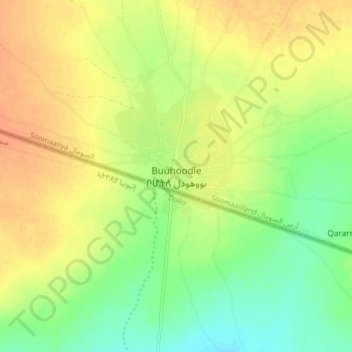
Name: Buuhoodle topographic map, elevation, terrain.
Location: Buuhoodle, Buhoodle District, Togdheer, Somaliland, Somalia (8.19218 46.28557 8.27218 46.36557)
Average elevation: 669 m
Minimum elevation: 650 m
Maximum elevation: 685 m
Thank you for supporting this site ❤️
Make a donation
Make a donation
Gear up for your next adventure:
As an Amazon Associate, this site earns from qualifying purchases at no extra cost to you.