
Mohope topographic map
Interactive map
Click on the map to display elevation.
About this map
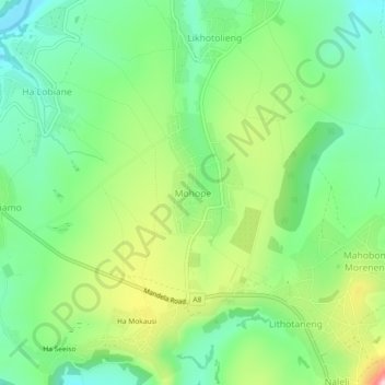
Name: Mohope topographic map, elevation, terrain.
Location: Mohope, Leribe District, Lesotho (-28.94480 28.13410 -28.90480 28.17410)
Average elevation: 1,664 m
Minimum elevation: 1,567 m
Maximum elevation: 1,843 m