
Grovetown topographic map
Interactive map
Click on the map to display elevation.
About this map
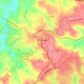
Name: Grovetown topographic map, elevation, terrain.
Location: Grovetown, Columbia County, Georgia, United States (33.43112 -82.24475 33.46690 -82.16920)
Average elevation: 134 m
Minimum elevation: 81 m
Maximum elevation: 170 m