
Bình Nhất topographic map
Interactive map
Click on the map to display elevation.
About this map
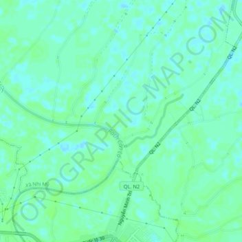
Name: Bình Nhất topographic map, elevation, terrain.
Location: Bình Nhất, Huyện Cao Lãnh, Đồng Tháp, Vietnam (10.44608 105.67661 10.48608 105.71661)
Average elevation: 4 m
Minimum elevation: -1 m
Maximum elevation: 7 m