
Schaulen topographic map
Interactive map
Click on the map to display elevation.
About this map
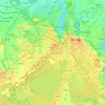
Name: Schaulen topographic map, elevation, terrain.
Location: Schaulen, Stadtgemeinde Schaulen, Bezirk Schaulen, Litauen (55.84107 23.22818 55.97125 23.42901)
Average elevation: 124 m
Minimum elevation: 99 m
Maximum elevation: 155 m