
Cobbs Creek topographic map
Interactive map
Click on the map to display elevation.
About this map
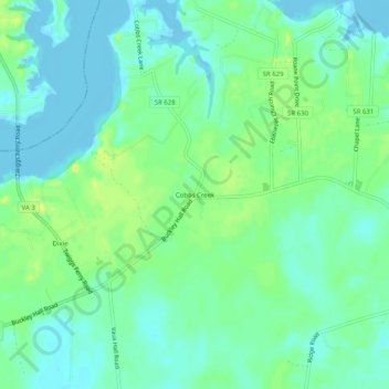
Name: Cobbs Creek topographic map, elevation, terrain.
Location: Cobbs Creek, Mathews County, Virginia, 23035, United States (37.48569 -76.41689 37.52569 -76.37689)
Average elevation: 9 m
Minimum elevation: -7 m
Maximum elevation: 23 m
Other topographic maps
Click on a map to view its topography, its elevation and its terrain.