
Cifuentes topographic map
Interactive map
Click on the map to display elevation.
About this map
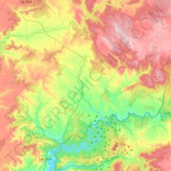
Name: Cifuentes topographic map, elevation, terrain.
Location: Cifuentes, Guadalajara, Castilla-La Mancha, 19420, España (40.64662 -2.72362 40.84504 -2.41234)
Average elevation: 948 m
Minimum elevation: 695 m
Maximum elevation: 1,245 m