
Vichten topographic map
Interactive map
Click on the map to display elevation.
About this map
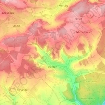
Name: Vichten topographic map, elevation, terrain.
Location: Vichten, Canton Redange, Luxembourg (49.78674 5.96608 49.83157 6.04116)
Average elevation: 339 m
Minimum elevation: 230 m
Maximum elevation: 395 m