
Webb Chapel Park topographic map
Interactive map
Click on the map to display elevation.
About this map
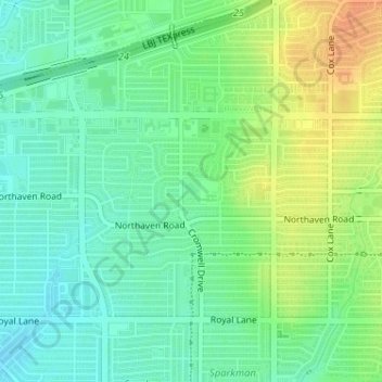
Name: Webb Chapel Park topographic map, elevation, terrain.
Location: Webb Chapel Park, Dallas, Dallas County, Texas, USA (32.90330 -96.86392 32.90524 -96.86236)
Average elevation: 161 m
Minimum elevation: 147 m
Maximum elevation: 182 m
Other topographic maps
Click on a map to view its topography, its elevation and its terrain.