
Nhloya topographic map
Interactive map
Click on the map to display elevation.
About this map
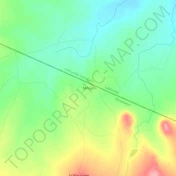
Name: Nhloya topographic map, elevation, terrain.
Location: Nhloya, Inkhundla Sigwe, Shiselweni, Eswatini (-27.05588 31.65672 -27.01588 31.69672)
Average elevation: 334 m
Minimum elevation: 287 m
Maximum elevation: 415 m