
Kromme Rijn topographic map
Interactive map
Click on the map to display elevation.
About this map
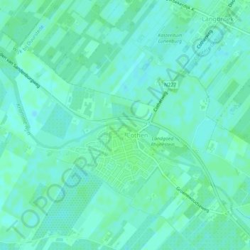
Name: Kromme Rijn topographic map, elevation, terrain.
Average elevation: 5 m
Minimum elevation: 1 m
Maximum elevation: 8 m
Other topographic maps
Click on a map to view its topography, its elevation and its terrain.
Wijk bij Duurstede
Netherlands > Utrecht > Wijk bij Duurstede
Dutch Topographic map of the municipality of Wijk bij Duurstede, 2013.
Average elevation: 5 m