
Jiménez topographic map
Interactive map
Click on the map to display elevation.
About this map
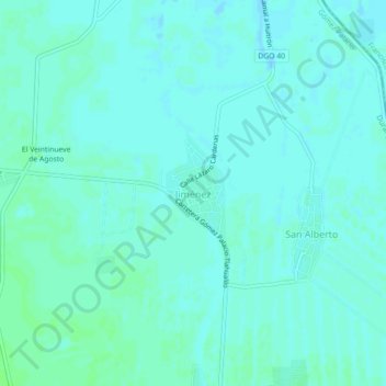
Name: Jiménez topographic map, elevation, terrain.
Location: Jiménez, Gómez Palacio, Durango, México (25.81052 -103.37826 25.85052 -103.33826)
Average elevation: 1,106 m
Minimum elevation: 1,103 m
Maximum elevation: 1,110 m