
神峪回族乡 topographic map
Interactive map
Click on the map to display elevation.
About this map
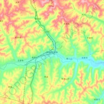
Name: 神峪回族乡 topographic map, elevation, terrain.
Location: 神峪回族乡, 华亭市, 平凉市, 甘肃省, 中国 (35.09280 106.76560 35.17280 106.84560)
Average elevation: 1,406 m
Minimum elevation: 1,283 m
Maximum elevation: 1,547 m
Other topographic maps
Click on a map to view its topography, its elevation and its terrain.